
Construcciones Yamaro: How spatial intelligence responds to new demands in construction
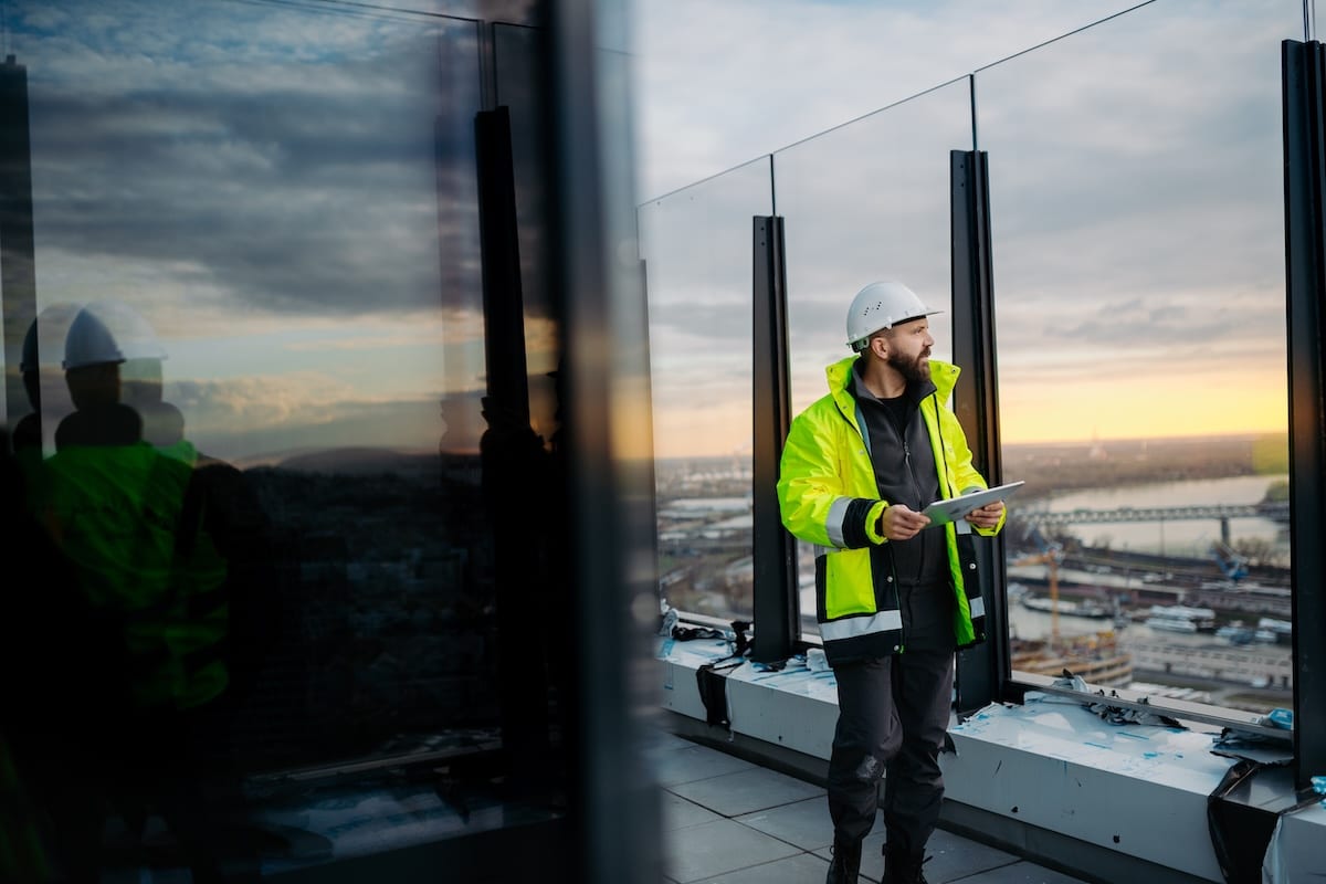
Spatial intelligence is changing how construction data can be captured, connected and used across project delivery and asset management.
The construction industry has never had more data. Yet on many projects, critical decisions are still made using incomplete, outdated or disconnected information.
As project complexity grows, clients demand greater transparency and governments tighten expectations around sustainability and reporting, an accurate view of what is happening on site is becoming increasingly important to project delivery.
Cupix’s latest Constructing Reality report examines how spatial intelligence is being used across the design, delivery and operation of assets in the Asia-Pacific region.
Drawing on perspectives from leaders across construction, digital engineering, infrastructure delivery and asset management, the report argues that the industry’s next competitive advantage will come not from collecting more data, but from making existing information visible, connected and actionable.
Related stories:
- Leighs Construction captures the full picture with Cupix
- Naylor Love lifts site visibility with Cupix
- Spatial capture gives John Holland a new lens on site
Across Australia and the broader Asia-Pacific region, investment in major infrastructure continues to grow. At the same time, owners, investors and regulators are placing greater emphasis on lifecycle performance, carbon accountability and operational resilience, alongside the delivery of projects on time and on budget. These expectations are affecting every stage of project delivery.
Building information modelling (BIM) has become standard practice on many major projects, but the report identifies the combination of BIM, reality capture, digital twins and visual common data environments as the next step.
Together, these technologies can create an accurate and regularly updated representation of the built environment, allowing project stakeholders to work from a shared source of information.
The applications extend beyond the construction phase. As governments introduce climate disclosure requirements and institutional investors seek greater transparency around asset performance, digital records are becoming an important part of governance, compliance and long-term asset management.
Instead of documenting projects only at handover, some organisations are developing digital records that can support operations throughout an asset’s lifecycle.
The report also highlights the role of artificial intelligence (AI), noting that its effectiveness depends on the quality of the project data available. Poor data quality, fragmented systems and skills shortages continue to hinder adoption.
Organisations that establish structured, reliable and contextual project information will be better placed to make use of AI as the technology develops.
The report presents spatial intelligence as more than a technology discussion, describing it as a business strategy that influences productivity, sustainability, risk management and asset performance throughout the project lifecycle.
For construction leaders, the question is not only whether these technologies will become standard practice, but how they can be adopted to improve project certainty, reduce risk and create long-term value.
Download the full Constructing Reality report to explore the trends, insights and strategies shaping the future of construction across the Asia-Pacific region.
The post How spatial intelligence responds to new demands in construction appeared first on Inside Construction.
View Source


Comments
Post a Comment